A borough of about a third of a square mile at the very tip of New Jersey, where Delaware Bay meets the Atlantic. Around 300 people live here year round. In summer it holds perhaps 4,500. There is no boardwalk, and that is the entire idea.
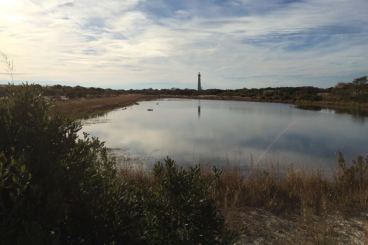
The Cape May Lighthouse157 feet, lit in 1859, and still an active aid to navigation. You can climb it.Photograph by Famartin, October 2018, via Wikimedia Commons. Cropped and resized; reused under CC BY-SA 4.0.
It is not Cape May
People use the names interchangeably and they are two different municipalities with almost nothing in common.
Cape May Point
- 0.31 square miles
- About 305 residents year round
- About 4,500 in summer
- Faces the mouth of Delaware Bay
- Quiet and residential — a state park, a lighthouse and bird sanctuaries. No boardwalk.
Cape May City
- 2.90 square miles
- About 2,768 residents year round
- 40,000 to 50,000 in summer
- Faces the Atlantic
- A Victorian resort — the entire city is a National Historic Landmark district.
Cape May City is the way it is because of a fire in 1878 that destroyed thirty blocks of it. What went back up went up almost all at once, in one style, which is why the whole city was designated a National Historic Landmark in 1976 — the only American city designated in its entirety.
Cape May Point missed all of that. It went its own way.
It has had three names
The place was Stites Beach until 1876, then Sea Grove, and only later Cape May Point. It was incorporated as a borough on April 19, 1878, reincorporated in 1891, absorbed back into Lower Township in 1896, and finally re-emerged as an independent municipality on April 6, 1908. For a place this small it has had a remarkably eventful administrative life.
The cape itself is named for the Dutch captain Cornelius Jacobsen May, who charted this coast between 1611 and 1614.
A president summered here. Benjamin Harrison, the twenty-third President, was given a cottage at Cape May Point in 1890 by the merchant John Wanamaker and his associates. The borough also once had a one-room jail, which was carted off to Historic Cold Spring Village in 1983.
What is at the Point
Sunset Beach
The bayside beach at the western end, the flag-lowering ceremony, and the wreck of a concrete ship offshore.
The bunker and the tower
A WWII gun battery stranded on the beach, and a fire control tower restored so you can climb it.
Cape May Point State Park
About 244 acres, including 190 acres of freshwater wetlands, next to a further 200 acres of preserved meadows.
The hawk watch
A dedicated platform where migrating raptors are counted through the autumn. One of the best migration sites in North America.
Higbee Beach
Eleven hundred acres of bayshore just up the coast, and the place the songbirds pile up before crossing.
Cape May diamonds
The quartz pebbles people comb the beach for, and the argument about where they come from.
The state park trails
Three color-coded loops, all starting and ending at the same parking area:
| Red | 0.5 mile, boardwalk, wheelchair accessible |
|---|---|
| Yellow | 1.5 miles, boardwalk and dirt |
| Blue | 2.0 miles, partly along the beach |
The lighthouse
The Cape May Lighthouse was built in 1859, stands 157 feet 6 inches to the ventilator ball, and you can climb it. There are 217 steps to the top, 199 of them in the cast-iron spiral. It is still a working aid to navigation maintained by the Coast Guard, flashing every 15 seconds and visible 24 miles out to sea.
It is owned by the State of New Jersey and operated under lease by Cape May MAC, who reopened it for climbing in 1988.
It is the third lighthouse on this site. The first was built in 1823 and the second in 1847. Both of them are now underwater.
Across the bay, the stone tower at Cape Henlopen went the same way — it fell into the sea in 1926. Both capes have lost lighthouses to the same water. One of them managed to keep replacing them.
A note on addresses. The lighthouse, the state park, the WWII tower, Sunset Beach and Higbee Beach are all commonly described as being at Cape May Point, and everybody including this site says so. Several of them are technically within Lower Township rather than the borough. It matters for post and for property, and for nothing else.